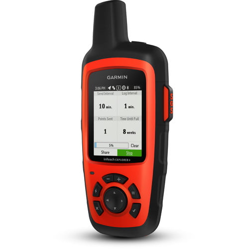
Cell phones are great as long as you have a signal, but with the Garmin inReach Explorer+ Satellite Communicator 2019 Version, you’re always in touch, anywhere in the world. With a satellite service subscription, you can send and receive text messages, send SOS messages to the GEOS 24/7 search and rescue monitoring center, navigate your route, and share your location and progress with family and friends back home.
Navigate with pre-loaded DeLorme topographical maps and keep track of your precise position using the built-in digital compass, barometric altimeter and acceleromoter. The Bluetooth-enabled Garmin inReach Explorer+ can pair with your regular mobile phone or tablet to access additional downloadable maps, U.S. NOAA charts, color aerial imagery, and more.
You’ll get up to 100 hours of active-use runtime from one charge of the inReach’s built-in lithium-ion battery, via the included micro-USB power cable or optional in-vehicle 12V charger. The device is IPX7-rated, so it will stand up to rain, snow, splashing, or immersion 3.3′ deep for up to 30 minutes.
Garmin inReach Explorer+ Satellite Connectivity
24/7 SOS Monitoring
Track & Share Your Whereabouts
DeLorme Topo Maps and Sensors
Cloud-Based Storage and Trip Planning


 No products in the cart.
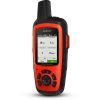
Reviews
There are no reviews yet